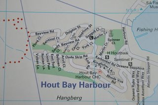
Directions (end of Bayview Rd - Top Left) !!
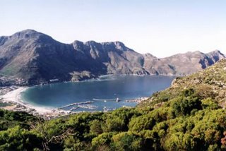
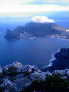
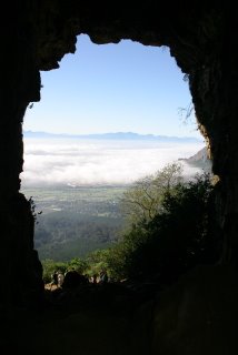
KapteinsPIEK view!
Hey Athletes!!!!
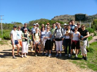
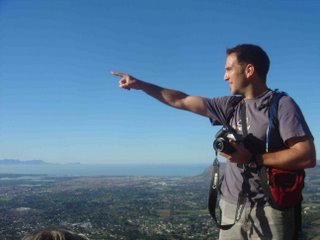
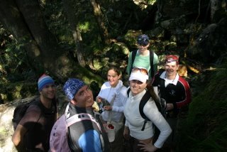
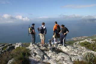
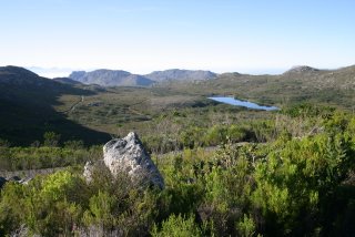
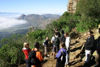
Last week's hike was a pretty gentle stroll enjoyed by 25 and 2 in perfect winter weather! This week will take us into the heavens above Hout Bay to the summit of the 'Karbonkelberg' mountain range, and the smaller 'KapteinsPIEK' also awaits some weary legs on the way back towards the cars. The gradient will definately be a cuppala notches up from last week, but nothing out of range for the extreme nature of EYBTM athletes!! A huge effort has been put in by the girls over the past few weeks (boys are loving it), so I think a huuuuuuuoooooj effort is needed by some of the lazy fella's out there for this week's hike!!!!
How to get there: Head towards Hout Bay harbour along Harbour Road. Go past Mariners Wharf, SA Fisheries Museum, and the NSRI, and take the first right towards Karbonkel Rd. Turn right into Bayview Rd which is second right off Karbonkel Rd. Follow Bayview all the way up to the end and find a park. Please check out the map above (see top left of the map at the end of Bayview Rd) to avoid any confusion.
Time: 8:45 - around 12'ish (likely to be a shorter walk but we'll see how it goes!)
What to bring: Water, camera, a warm top, some snacks, sweets, coffee... your vibe!!!
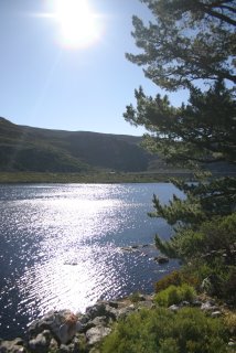
Weather: Looks good for now topping 21 degrees and CLEAR UNDER AFRICAN SKIES!!!!
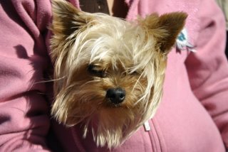
Four Legged Athletes: I have not done this walk before, so am not entirely sure, but cant see there being any problems with the difficulty. There are no major scrambles so it should be fine. Dogs are allowed!!
Post hike vibe: The Deck, just down the road!!!
This site now allows for anyone to make any comments without having to register, or fill out any other time consuming rif raf, so those who are in, let us know!!! Any other banter or suggestions are always welcome and add to the vibe!!!
Awesome, Brilliant, Unbelievable...Tremendous - see everyone on Sun!!!
EARN YOUR BREAKFAST!!!!!!!
